Spring 2023 – our third time to the Dragoons. We’ve camped at the Eastern Stronghold and hiked up to the divide, and now we’re returning to the Western Stronghold to approach the divide from the other side. This section of trail is the beginning (or ending) of the SkIT. While an excellent hike, the short route over the divide and back to the roads doesn’t do justice to the history or the terrain of the area. Both come together, in my opinion, to promote more exploring. Rather than hiking along the roads that skirt the range, it is much more fun and in the spirit of the place to explore the range cross-country, free from the confines of the roads or trails.

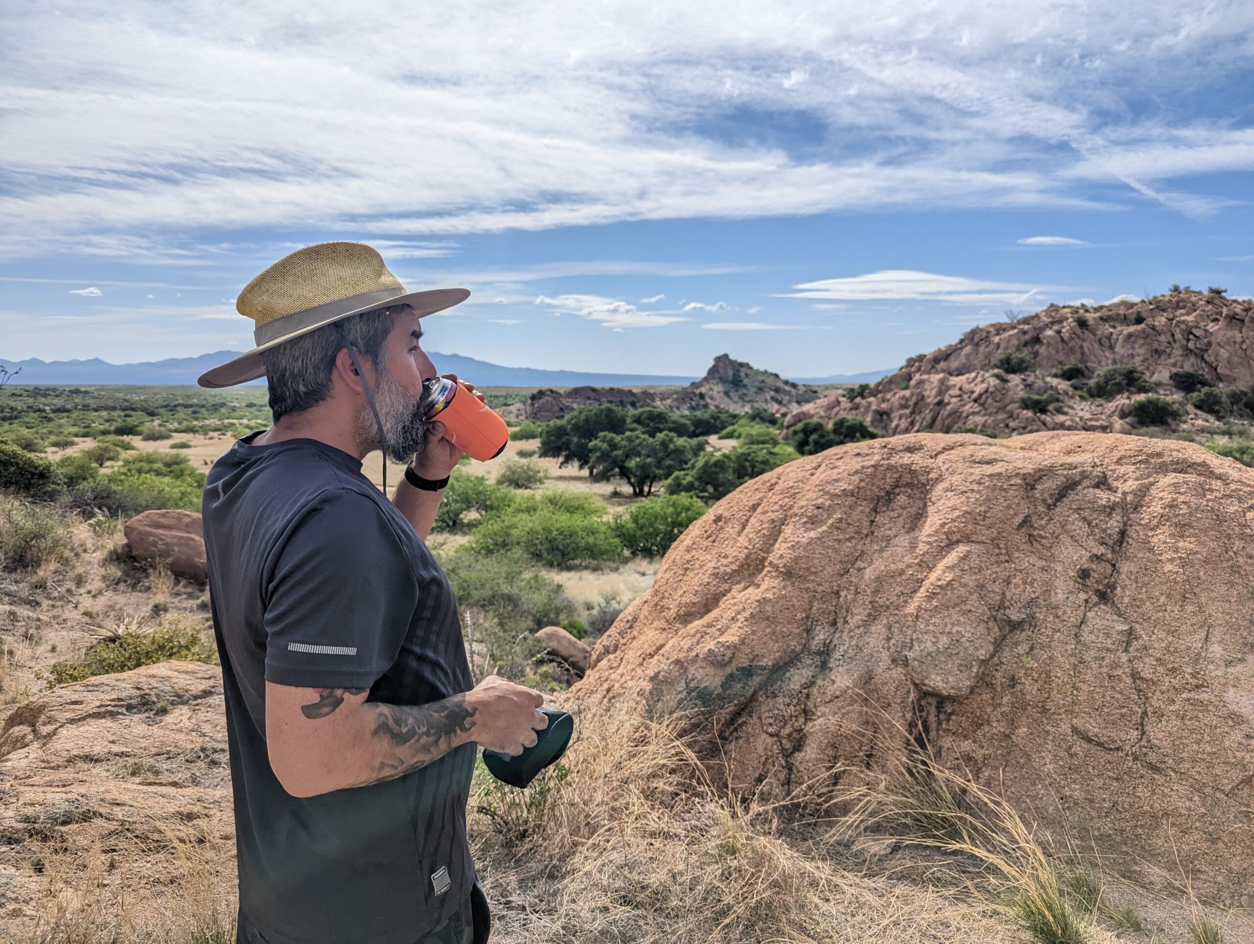
Townies spread rumors about the Dragoons. For those who have never been here, these mountains are full of weirdos, partiers, or “illegals.” In truth, many people come here for rock climbing, riding OHVs, or boondocking. We come for the hiking, biking, camping, and geocaching. It’s typically fairly busy, but this time we had the place mostly to ourselves. I think we hit the sweet spot with the weather. It’s starting to get hot so people are heading elsewhere for cooler temps. But the warming has been slow this spring and it is still quite nice out. We won’t be able to enjoy the low desert much longer, but for now it is fantastic.

The hike up the divide is shorter on the western side than the eastern. Once the ascent begins, the trail remains aggressively uphill for the most part, with a nice flat section but no notable downhills, something I can appreciate on a climb! Although our campsite is well shaded by oak trees, the trail itself is not. Fortunately it wasn’t actually that hot. At the top, we sat under the same alligator juniper tree as the last time we hiked up to the divide, from the opposite side.

It seems fitting that the SkIT begins and ends in the Dragoons and Chiricahuas. Both ranges were home to the Apache. During the Civil War and the Apache Wars, the Dragoons were an important refuge and strategic stronghold for Cochise and his people, which led to the place being called Cochise Stronghold. It’s easy to see why. The countless boulder fields are easy to disappear into, and from the top you can see many miles in all directions. The trail up over the divide (fittingly called Cochise Trail) connects the eastern and western strongholds. Always ready to move, the Apache could disappear into the mountains, cross the divide and take refuge on the other side. From the top, scouts could watch an enemy approaching for two days.

But the Apache were not the first people to inhabit these mountains. At Council Rock, pictographs and mortars are believed to be from the Mogollon people a thousand years ago. Though the pictographs are badly faded now, they are still a pretty cool thing to see.
Beyond Council Rock, the SkIT joins the forest roads. It’s fine walking but more fun biking, and we’ve done more biking than hiking through this segment. There are tons of nice campsites all along the road. The road itself is sandy and rutted, occasionally rocky.

We decided to hunt for several geocaches in the area. The first was at a site called tortoise rock, a fitting name. It was a scramble to the base of the rock, the GPS was jumpy and we had no topo map, so it was difficult to tell how close we actually were to where the cache was hidden. We were about to give up when Paul spotted the cache. From there we decided to head cross-country to the next cache, but soon realized it would involve a lot of scrambling and would be easier with a proper map.

We returned to camp, checked out the topo, and then rode our bikes to scout out where we thought the best starting point to hike to each cache was. Early the next morning we hiked out to the first cache. Initially we took the wrong side of a large outcropping, which basically meant we took the long way around. However, we quite enjoyed the exploring, climbing up a small ravine full of wildflowers, then climbing down from a large boulder field, over a ridge and down to a small cave. This feels like the right way to explore these mountains. Climbing around, the terrain is challenging but not particularly treacherous. The land is silent and still, yet I always sense we are walking in someone else’s footsteps, that all these rocks were intimately known by people not very long ago.

When we got closer, I realized the cave we had been approaching was actually an arch, and it was less accessible than it had looked from afar. Contemplating a way to get up, I turned around and spotted a cave right behind me. This is what we were looking for. This cave has been used by humans. The char marks on the roof indicate many fires have been lit in this cave. On the boulder outside there is another mortar. It has also clearly been used by animals. There are half decayed remains of a javelina at the entrance. We found the cache and sat on the boulder for a break. We watched half a dozen or so hummingbirds flitting about, chasing each other away, and enjoying the nectar of the many wildflowers.

This left us with one more cache to find, so we rode our bikes over to another campsite, then climbed up a large rock outcropping to locate it. This one was short and sweet, although it did take us a few minutes to find it. I’m out of practice and it shows, as Paul actually spotted all of the caches we found on this trip.
We have many more caches to find in the Dragoons and a lot more exploring to do, but we have essentially completed the SkIT through here, save a mile or two which we will surely pick up soon. But, none of this will happen until after the summer season. Compared to the other Sky Island ranges, the Dragoons are small and not very high. Therefore, the temperature relief isn’t dramatic enough to make this cool enough to really enjoy in the hot summer months. For that, we head to the higher ranges of the Chiricahuas and Santa Catalinas.

By no means exhaustive, as there are plenty of plants and birds I am not able to readily identify, here are some of the notable species we encountered this trip:
Birds
White winged dove
Mourning dove
Bewick’s wren
Summer Tanager
Turkey vulture
Acorn woodpecker
Mexican Jay
Common Raven
Canyon Towhee
Ash throated flycatcher
Plants
Agave
Sotol
Yucca
Alligator juniper
Canyon penstemon
Several kinds of oak
Manzanita
Ironwood
Milkweed
Ocotillo
Hackberry
Apache Plume
One thought on “The Cochise Stronghold of the Dragoons”