
August 9
46mi/74km (plus 4mi/7km in pilot car)
1700ft/518m elevation gain
Typical for a free campground, there was a lot of noise in the night. Music, laughing, and generators well past midnight, and a habituated fox sniffing around camp. Neither of us got a great sleep and we were slow to rise this morning.

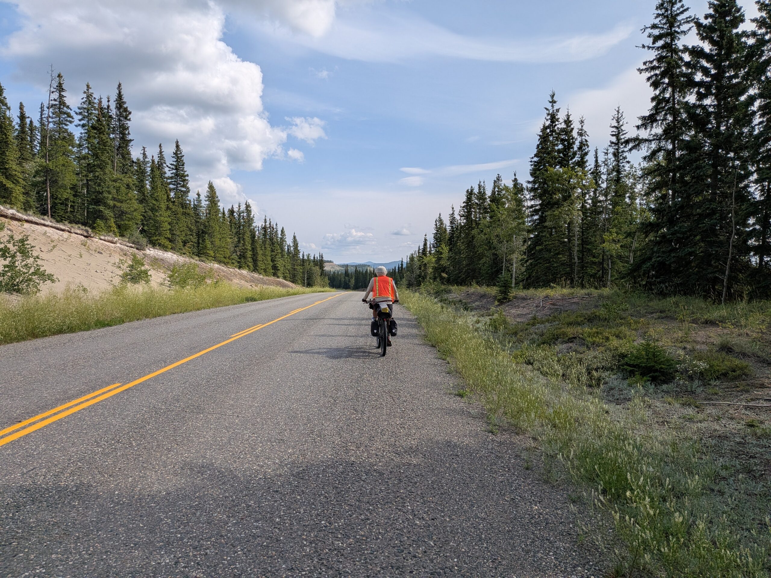
Although the terrain was not difficult today, the road was not the best. More traffic than the past few days, not the smoothest road surface, and often lacking any shoulder. We passed a salt lake and saw Ruddy Ducks, more Blue winged Teals, and a Bald Eagle.

To our surprise we came upon another section of road construction and a pilot car. Our driver today is from Northern British Columbia but loves to come up to the Yukon to work in the summer. This section was nothing as massive as the site we drove through yesterday, but after we got out of the pilot car we still had about 5 mi/8km of mud and gravel to get through before getting back to the chipseal.

In the afternoon the road ran parallel to the Yukon River once again. This far upstream, it is less brown and muddy. We learned from an info sign that this area is the eastern edge of Beringea, the vast steppe connecting Russia and North America that was not covered by the massive ice sheets that dominated the North American continent during the last glacial maximum. In school, Beringea was often referred to as a land bridge, but this implies a small strip of land connecting the continents, when in fact the area was more than 1,000 miles (1600 km) wide and covered an area larger than British Columbia and Alberta combined. So it was much more of a land mass than a bridge.

We stopped at another campground tonight, because the campgrounds up here are pretty great and it’s nice to be off the road a bit. The creek near the campground feeds into the Yukon River, and salmon swim upstream over 2500mi (2500km) from the Bering Sea to spawn here.
