
August 19
40mi/64km
2100ft/640m elevation gain
Although we are never super motivated to leave town quickly, today we were both a little bit anxious to get on the Cassiar Highway and start heading south through British Columbia.

That doesn’t mean we weren’t going to get a proper breakfast before leaving of course. We hit the road a little after 10. It was about 13mi/21km to the junction with the Cassiar, and another 2mi/3km to the border with British Columbia. We stopped for a photo at the sign, ate a snack and looked over the stickers people have posted on the sign.

The weather was nice, the riding was nice. We took a break at a lake. Saw a Common Loon at another lake. In the afternoon we got rained on. This was not in the forecast, and it rained surprisingly hard. At 5pm, we pulled off on a side road to see if there was any shelter, and we came upon another lake. It didn’t seem like the rain was slowing down, so we set up the tent and got inside. We checked the weather report. 0% chance of rain, it said. Hmm.

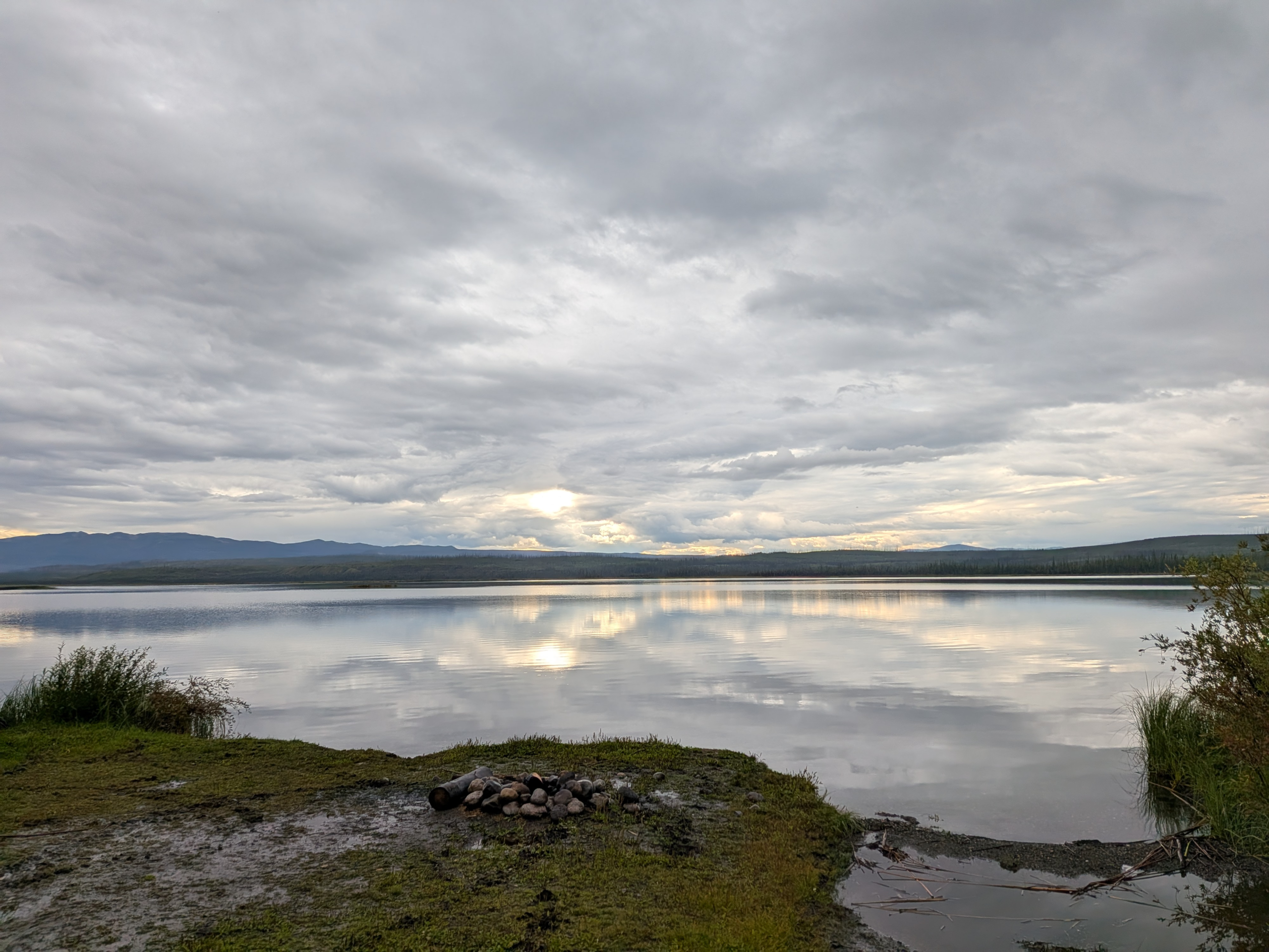
Fortunately, around 6pm, it did stop. We got out and went to the lake and realized we also had some nice mountain views. It was beautiful and we had the place all to ourselves, and we never would have come down this road if it wasn’t raining. I saw a Common Yellowthroat in the bushes near the lake shore.

We did get some more sprinkles but the sun also came out. We ate dinner near the lake and got in the tent early so we can warm up and dry out.
